Bologna Guglielmo Marconi Airport (BLQ)
Orientation and Maps
(Bologna, Italy)
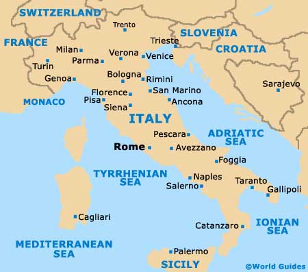
A city known for its fine food and history of politics, Bologna is located in the Emilia-Romagna area of northern Italy. Close to Bologna, Ferrara and Rovigo lie to the north, while Castelfranco Emilia and Modena are sited to the west.
Also nearby is Bologna's Guglielmo Marconi Airport (BLQ), to the north-west, a popular transport hub for the whole region. Within the city itself, those travelling to the city by rail with arrive at the train station, which is located at the Piazza delle Medaglie on the northern side of the central district. The city's bus station is also situated in this area, on the Piazza XX Settembre.
Bologna Guglielmo Marconi International Airport (BLQ) Maps: Important City Districts
Bologna is home to a number of different tourist offices, with the main outlet being located along the Piazza Maggiore, in the Palazza del Podestà. Further offices can be found at the train station and also at Marconi Airport
One of the best ways to sightsee in the centre of Bologna is to walk around. Many interesting and appealing streets are packed with historic architecture, particularly around the 'centro storico' area. The Via dell'Indipendenza stretches between central Bologna at the railway station and boasts a plethora of shopping opportunities, with a number of interconnecting public squares nearby, including the Piazza del Nettuno. Heading to the west you will discover Bologna's main financial and commercial region, while the lively university quarter lies on the opposite side, to the east.
Italy Map

Bologna Map


